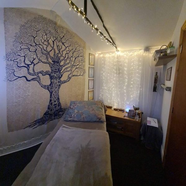
Reiki in Ripponden
Ripponden is a village and civil parish on the River Ryburn near Halifax in West Yorkshire, England. Historically it was part of the West Riding of Yorkshire. Its population was 6,412 at the time of the 2001 Census, and 7,421 in 2011. Wikipedia
Search Location
- Ainley Top
- Akroydon
- Almondbury
- Almondbury Common
- Ambler Thorn
- Armitage Bridge
- Ashenhurst
- Aspley
- Bailiff Bridge
- Balderstone
- Balderstone
- Bank Top
- Bank Top
- Bank Top
- Bankfoot
- Barkisland
- Battyeford
- Beck Hill
- Beechwood
- Beldon Hill
- Belfield
- Benomley
- Bentgate
- Berry Brow
- Birchcliffe
- Birchencliffe
- Birkby
- Birkhouse
- Black Clough
- Blackley
- Blackmoorfoot
- Blackshaw Head
- Boarshurst
- Bolster Moor
- Booth
- Booth Wood
- Boothtown
- Bottomley
- Boulder Clough
- Bracken Hill
- Brackenhall
- Bradley
- Bradley
- Bradley Mills
- Bradshaw
- Bradshaw
- Braeside
- Brearley
- Brockholes
- Brookfoot
- Brookhouse
- Brownroyd Hill
- Buckley
- Buersil
- Bunkers
- Burnedge
- Burnlee
- Buttershaw
- Calderbrook
- Caldermoor
- Calderside
- Carr House Gate
- Castle Street
- Catherine Slack
- Chapel Green
- Charlestown
- Charlestown
- Chiserley
- Claremount
- Clayton
- Clayton
- Clayton Heights
- Cliff
- Clifton
- Clifton
- Clifton
- Clough
- Clover Hall
- Cockley Hill
- Colden
- Colne Bridge
- Copley
- Copley
- Cornholme
- Cowcliffe
- Cowlersley
- Cowlishaw
- Cowmes
- Cragg Vale
- Crompton Fold
- Cromwell Bottom
- Crosland Edge
- Crosland Hill
- Crosland Moor
- Cross Hill
- Cross Stone
- Dalton
- Dean Lane Head
- Dearnley
- Deighton
- Delf Hill
- Delph
- Denholme
- Denholme Clough
- Denholme Edge
- Denholme Gate
- Denshaw
- Diggle
- Dobcross
- Dodd Naze
- Dog Hill
- Dogley Lane
- Durn
- Ealees
- Eastwood
- Edgerton
- Elland Lower Edge
- Elland Upper Edge
- Exley
- Facit
- Farnley Bank
- Farnley Tyas
- Fartown
- Fartown Green
- Fenay Bridge
- Firgrove
- Fixby
- Fold Head
- Folly Hall
- Friendly
- Fur Lane
- Gale
- Gauxholme
- Goats
- Golcar
- Grains Bar
- Grange
- Great Horton
- Great Howarth
- Green Clough
- Green Gate
- Greenfield
- Greenfield
- Greengate
- Greengate
- Greenside
- Greenside
- Greetland
- Greetland Wall Nook
- Grove Place
- Hall Bower
- Hanging Stone
- Harley Wood
- Harrop Dale
- Harrop Green
- Hartshead
- Hartshead Moor Side
- Hartshead Moor Top
- Haugh
- Haycliffe Hill
- Heathfield
- Heathfields
- Height
- Heights
- Helme
- Heptonstall
- Hey Green
- High Crompton
- Higher Barrowshaw
- Higher Hogshead
- Highroad Well
- Highroad Well Moor
- Hightown
- Hightown Heights
- Hill
- Hill Top
- Hill Top
- Hillhouse
- Hinchliffe Mill
- Hipperholme
- Hogley Green
- Holdsworth
- Hole Bottom
- Hollingworth
- Holly Grove
- Holmbridge
- Holme
- Holmfield
- Holt Head
- Holywell Green
- Honley
- Honley Moor
- Honresfeld
- Hoo Hole
- Horton Bank
- Horton Bank Bottom
- Horton Bank Top
- Hove Edge
- Howarth Cross
- Hurstead
- Illingworth
- Kebroyd
- Keelham
- Kilnhurst
- King Cross
- Kirkheaton
- Kitson Hill
- Knowl
- Knowl Wood
- Krumlin
- Lady House
- Lane End
- Lane Side
- Leaventhorpe
- Lee Mount
- Leeming
- Leymoor
- Lightcliffe
- Lindley
- Lindwell
- Lingards Wood
- Linthwaite
- Liphill Bank
- Little Bradley
- Little Clegg
- Little Horton
- Littlemoor
- Lockwood
- Longley
- Longwood
- Longwood Edge
- Low Fields
- Low Green
- Low Moor
- Low Moor
- Lower Arthurs
- Lower Clough
- Lower Grange
- Lower Healey
- Lower Houses
- Lower Place
- Lower Rushcroft
- Lower Wellhouse
- Lower Woodlands
- Lower Wyke
- Luddenden
- Luddenden Foot
- Lumbrook
- Lumbutts
- Lydgate
- Machpelah
- Mag Dale
- Mankinholes
- Manywells Height
- Marsden
- Marsh
- Marsh
- Marsh Top
- Marshfields
- Marslands
- Mayfield
- Meltham Mills
- Middle Healey
- Midgley
- Mill Bank
- Millwood
- Milnsbridge
- Mitchell Hey
- Mixenden
- Moldgreen
- Moor Side
- Moorbottom
- Moorend
- Moorend
- Moorside
- Moorside
- Moss Hey
- Mount
- Mount Tabor
- Mountain
- Mytholm
- Mytholmroyd
- Nab
- Nab Hill
- Narrow Gate Brow
- Near Barrowshaw
- Netheroyd Hill
- Netherthong
- Netherton
- Nettleton Hill
- New Delph
- New Gate
- New Gate
- New Popplewell
- New Road Side
- New Town
- New Town
- Newbold
- Newbold Brow
- Newhey
- Newsome
- Newtown
- Newtown
- Nook
- Nook
- Norland Town
- Northowram
- Norton Tower
- Norwood Park
- Nutclough
- Oakenshaw
- Oakenshaw
- Oakes
- Odsal
- Ogden
- Old Dolphin
- Old Town
- Oldfield
- Outlane
- Outlane Moor
- Ovenden
- Ovenden Wood
- Oxenhope
- Paddock
- Paradise Green
- Pecket Well
- Pellon
- Pickles Hill
- Pickwood Scar
- Pike End
- Pike Law
- Pleasant View
- Pobgreen
- Pole Moor
- Portsmouth
- Priestley Green
- Priestwell
- Primrose Hill
- Prince Royd
- Pudsey
- Pule Hill
- Pye Nest
- Quarmby
- Queensbury
- Raggalds
- Ramsden Wood
- Rashcliffe
- Rastrick
- Rawthorpe
- Riddings
- Ripponden Wood
- Rishworth
- Roberttown
- Rodmer Clough
- Roebuck Low
- Rosemount
- Rotcher
- Rough Bank
- Running Hill Head
- Salendine Nook
- Salford
- Salford
- Salterhebble
- Savile Park
- Scapegoat Hill
- Scholemoor
- Scholes
- Scholes
- Scotgate
- Scouthead
- Shade
- Shaw Edge
- Shaw Side
- Shawforth
- Shaws
- Shearing Cross
- Sheepridge
- Shelf
- Shibden Head
- Sholver
- Shore
- Shore Edge
- Siddal
- Skircoat Green
- Slack Side
- Slaithwaite
- Slead Syke
- Small Brook
- Smallbridge
- Smithy Bridge
- Snake Hill
- Snow Lea
- South Crosland
- Southowram
- Sowerby
- Sowood
- Sowood Green
- Soyland Town
- Spring Side
- Stainland
- Steep Lane
- Stile Common
- Stocks Bank
- Stone Chair
- Stoney Royd
- Stubley
- Stump Cross
- Summit
- Sun Side
- Sunnybank
- Syke
- Tame Water
- Tandem
- Taylor Hill
- The Shay
- Thick Hollins
- Thongsbridge
- Thornton
- Thornton
- Thornton Lodge
- Thurston Clough
- Thurstonland
- Timbercliffe
- Top O Th' Knowl
- Town End
- Town Head
- Town Head
- Triangle
- Trough Gate
- Truncliffe
- Tunshill
- Tunstead
- Tunstead
- Turf Hill
- Under Hill
- Upper Common
- Upper Green
- Upper Greetland
- Upper Hopton
- Upper Wyke
- Uppermill
- Upperthong
- Vale
- Victoria
- Wainstalls
- Wall Hill
- Walsden
- Walshaw
- Wardle
- Warland
- Warley Town
- Waterloo
- Waterloo
- Waterloo
- Weakey
- Well Heads
- West End
- West End
- West Scholes
- West Vale
- Wheatley
- Wibsey
- Wibsey Slack
- Willow Field
- Wilshaw
- Wolpole
- Wood End
- Wood End
- Woodhouse
- Woodhouse Hill
- Woodside
- Wooldale
- Woolroad
- Wyke
- Wyke Common
- Yews Hill
Find by Postcodes
-
Red Lees Road, Burnley, Lancashire BB10 4RD
I am a Reiki Master and teacher and I am one of the few traditionally trained Reiki Masters in the…
-
Station Road, Barnsley, South Yorkshire S71 4EU
We offer one-to-one and small-group courses in a wide variety of therapies, including: Usui Reiki 1st Degree Usui Reiki 2nd…
-
Bradford, West Yorkshire
Qualified Holistic Therapist treating the mind and body as a whole helping to combat stress and tensions of everyday life,…
-
105 North Street, Keighley, West Yorkshire BD21 3AA
Angelic Reiki treatments available at Farfield House Clinic in Keighley. Carol Richmond has over 20 years’ experience with Reiki, and…
-
36 Olympia Street, Burnley, Lancashire BB10 4EW
Reiki Master Teacher, TREATMENTS Acupuncture The No-Needle Way, Acupressure Massage, Sports Injury’s, Indian Head Massage, Reiki Healing, Aromatherapy, Reflexology, Swedish…
-
Burnley, Lancashire
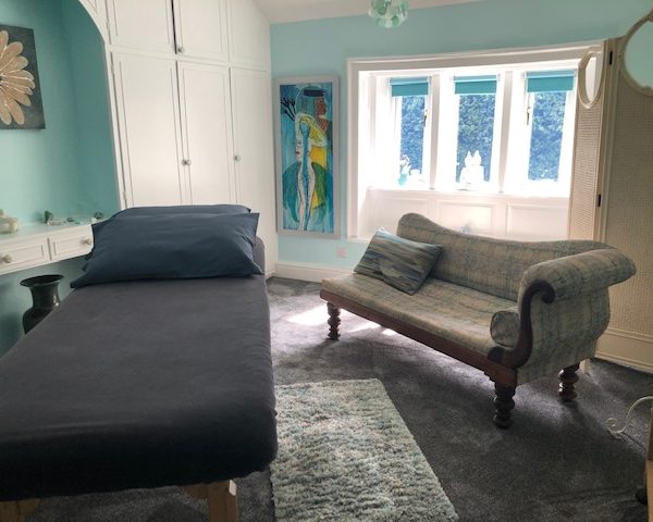
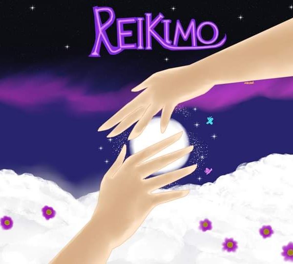
Reikimo provides reiki healing to promote well-being and relaxation in the Burnley area. Mo is a highly trained Reiki Practitioner…
-
Ashdene Avenue, Wakefield, West Yorkshire WF4 1LY
Reiki and its potential health benefits When the flow of energy is weakend or blocked emotional or health problems tend…