Reiki in Rishton
Rishton is a township in the Hyndburn district of Lancashire, England, about 2 miles west of Clayton-le-Moors and 4 miles north east of Blackburn. It was an urban district from about 1894 to 1974. It is now a ward of Hyndburn, and the population at the census of 2011 was 6,625. Rishton was the first place that the cloth calico was woven on an industrial scale. Its name means “village where rushes grow”. Wikipedia
Search Location
- Abbey Village
- Acre
- Acre
- Alleytroyds
- Altham
- Anchor
- Balderstone
- Balderstone
- Balladen
- Bank Hey
- Bank Lane
- Bank Top
- Bank Top
- Barley
- Barnfield
- Barrow
- Bastwell
- Baxenden
- Beardwood
- Belgrave
- Belmont
- Belthorn
- Billington
- Birch Hall
- Blackamoor
- Blacksnape
- Boarsgreave
- Booth Fold
- Bradley
- Brandwood
- Brindle
- Brinscall
- Broad Clough
- Broadfield
- Broadfield
- Brockhall Village
- Brookhouse
- Brownhill
- Brownside
- Brunshaw
- Bull Hill
- Burnley Lane
- Burnley Wood
- Cadshaw
- Carr Hall
- Chapels
- Chapeltown
- Chatburn
- Chatterton
- Cherry Tree
- Cherry Tree
- Clayton Brook
- Clayton-le-Dale
- Cliffe
- Cliviger
- Cloughfold
- Clow Bridge
- Cob Wall
- Constable Lee
- Copster Green
- Cote Holme
- Coup Green
- Cow Hill
- Cowpe
- Crawshawbooth
- Daisyfield
- Dill Hall
- Dinckley
- Downham
- Dunnockshaw
- Dunnyshop
- Earcroft
- Eccleshill
- Edenfield
- Edge End
- Edgeside
- Edgworth
- Egerton
- Enfield
- Ewood
- Ewood Bridge
- Farringdon Park
- Fence
- Feniscliffe
- Feniscowles
- Fern Gore
- Flax Moss
- Fletcher Bank
- Forest Holme
- Foxhill Bank
- Fulledge
- Glen Top
- Goodshaw
- Goodshaw Chapel
- Goodshaw Fold
- Grange
- Great Mitton
- Green Bank
- Green Haworth
- Green Lane
- Gregson Lane
- Grimsargh
- Grimshaw
- Grimshaw Park
- Grindleton
- Guide
- Habergham
- Haggate
- Haggate
- Hall Carr
- Hapton
- Hareholme
- Harle Syke
- Harwood Bar
- Hawkshaw
- Hawkshaw
- Hazelhurst
- Heasandford
- Height End
- Helmcroft
- Helmshore
- Hey Head
- Higham
- Higher Audley
- Higher Baxenden
- Higher Broad Clough
- Higher Broadhalgh
- Higher Cloughfold
- Higher Constable
- Higher Croft
- Higher Walton
- Higher Wheelton
- Hillock Vale
- Hindle Fold
- Hoddlesden
- Hoghton
- Holcombe
- Holden Vale
- Hole House
- Hollin Bank
- Hollins
- Hollins
- Hollins Grove
- Holme Chapel
- Horrocksford
- Hothersall
- Hud Hey
- Hugh Mill
- Huncoat
- Hurstwood
- Huttock Top
- Hyndburn Bridge
- Intack
- Irwell Vale
- Knowle Green
- Knuzden Brook
- Lammack
- Lane Side
- Laneside
- Langho
- Laund
- Little Harwood
- Little Marsden
- Little Moor End
- Little Town
- Livesey Fold
- Lomeshaye
- Longholme
- Longshaw
- Longshaw
- Longshoot
- Longshoot
- Love Clough
- Low Moor
- Lower Audley
- Lower Baxenden
- Lower Cloughfold
- Lower Darwen
- Lower Fold
- Lower Fold
- Marsden Height
- Mellor
- Mellor
- Mellor Brook
- Mereclough
- Mill Hill
- Mill Hill
- Miller Fold
- Milnshaw
- Moorgate
- Moss Bridge
- Myerscough Smithy
- Nab's Head
- Nethertown
- New Hall Hey
- New Town
- Newbridge
- Newchurch
- Newchurch in Pendle
- Norden
- Nova Scotia
- Nun Hills
- Nuttall
- Oakenhead Wood
- Oakenshaw
- Old Langho
- Osbaldeston
- Over Town
- Park Place
- Peel Bank
- Peel Brow
- Pendleton
- Pendleton
- Pickup Bank
- Piercy
- Pike Hill
- Pimlico
- Pleasington
- Pleckgate
- Pot House
- Primrose
- Queen's Park
- Radford
- Rake Foot
- Rake Head
- Ramsgreave
- Read
- Red Scar
- Reedley
- Reeds Holme
- Revidge
- Ribbleton Hall
- Ribchester
- Rising Bridge
- Roe Lee
- Rose Grove
- Rose Hill
- Rose Hill
- Roughlee
- Royshaw Hill
- Rush Bed
- Sabden
- Salesbury
- Samlesbury
- Scaitcliffe
- School Lane
- Scout
- Seed Lee
- Shadsworth
- Shaw Clough
- Sherfin
- Shorey Bank
- Shuttleworth
- Simonstone
- Siss Clough
- Sough
- Southward Bottom
- Spen Brook
- Spring Hill
- Spring Hill
- Spring Side
- Spring Vale
- Stacksteads
- Staghills
- Standen Hall
- Stanhill
- Stoneyholme
- Strongstry
- Stubbins
- Stydd
- Sunny Bower
- Sunnyhurst
- Syke Side
- Tagg Wood
- Tanners
- The Wrangling
- Tockholes
- Town's Moor
- Townsend Fold
- Tunstead
- Tunstead
- Turn
- Turton Bottoms
- Waddington
- Walton Summit
- Water
- Waterbarn
- Waterfoot
- Waterloo
- Waterloo
- Waterside
- Waverledge
- Weir
- Well Bank
- Wensley Fold
- West Bradford
- West End
- Whalley
- Wheatley Lane
- Wheelton
- Whinny Edge
- Whinny Heights
- Whitebirk
- Whitefield
- Whitefield
- Whitehall
- Whitewell Bottom
- Whittlefield
- Wilpshire
- Wiswell
- Within Grove
- Withnell
- Withnell Fold
- Witton
- Wood Top
- Woodnook
- Worsthorne
Find by Postcodes
-
Red Lees Road, Burnley, Lancashire BB10 4RD
I am a Reiki Master and teacher and I am one of the few traditionally trained Reiki Masters in the…
-
Burnley, Lancashire
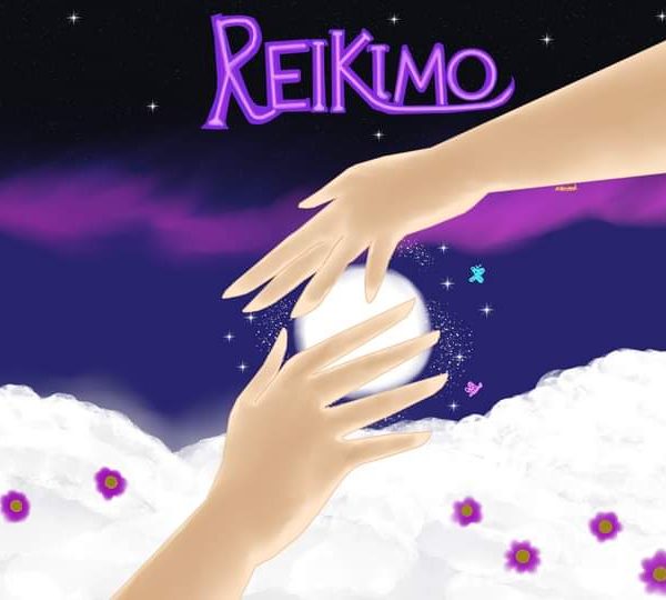
Reikimo provides reiki healing to promote well-being and relaxation in the Burnley area. Mo is a highly trained Reiki Practitioner…
-
36 Olympia Street, Burnley, Lancashire BB10 4EW
Reiki Master Teacher, TREATMENTS Acupuncture The No-Needle Way, Acupressure Massage, Sports Injury’s, Indian Head Massage, Reiki Healing, Aromatherapy, Reflexology, Swedish…
-
Hillhouse Road, Preston, Lancashire PR3 2DG
Hi I’m Fiona, I’m a Reiki practitioner sharing energy within the safe space of my home meditation room. I’m Based…
-
Wiggins Lane, Rufford, Lancashire L40 1TZ
Our next Reiki 1 training date is on Friday 26th April 2024. For Reiki 2 dates please contact me on…
-
105 North Street, Keighley, West Yorkshire BD21 3AA
Angelic Reiki treatments available at Farfield House Clinic in Keighley. Carol Richmond has over 20 years’ experience with Reiki, and…